Footpath Ledger
Match the Walk to the Conditions
In fjord landscapes, there are no gentle ramps. Trails climb sharply out of coastal birch forest straight onto bare rock and marshy shelves. Humility before changing weather is the secret to returning safely.
Elevation Per Kilometre
180–300 m
Substantially steeper than standard alpine paths
Average Pack Weight
5–7 kg
Includes shell layers, food and emergency kit
Summer Daylight
18–22 hrs
Abundant light, but evening cold sets in swiftly
When reviewing hiking maps in maritime regions, horizontal distances deceive. A route logged as 6.5 kilometres one-way can take over four hours of arduous uphill footwork through tree roots, stone steps, and peat mud. If an Atlantic frontal system arrives, wind speeds on exposed mountain ledges can double within thirty minutes.
Terrain Types and How to Read Them
A typical ascent in western fjord regions passes through three distinct biomes:
- The Birch and Root Zone (0–350 m): Dense deciduous growth with soil heavily churned by seasonal runoff. Trekking poles are essential here to prevent ankle slippage on exposed tree roots.
- The Peat Shelf & Lake Basin (350–700 m): Flat highland hanging valleys where water drains slowly through moss sponge. Waterproof gaiters and sturdy leather or synthetic boots keep feet dry.
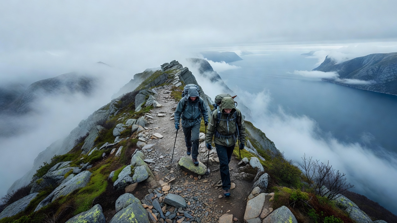
- The Blockfield & Granite Scarp (700 m+): Weathered stones, scree, and cold lichen. Painted red 'T' marks or stone cairns provide trail navigation. In thick cloud, keep the next cairn in sight before leaving your current marker.
The Mountain Safety Checklist
- Never rely purely on cellular maps: Download offline topographic maps (such as Norgeskart or paper 1:50,000 sheets). Batteries drain rapidly in damp cold.
- Layering over warmth: Wear a moisture-wicking wool baselayer, an insulating midlayer, and pack a windproof/waterproof shell with taped seams. Cotton clothing should be avoided entirely.
- Turnback time rule: Establish a strict turnaround time before setting out. If you have not reached the summit plateau by 14:00, turn around regardless of proximity.
- Tell someone your intention: Leave a brief note on your cabin table or dashboard detailing route choice and anticipated return hour.
The Fjord Weather Reality
Weather forecasts in valley bottoms rarely match conditions 800 metres higher. Always check regional mountain forecasts (such as yr.no) for wind speeds at summit elevations, not simply town centre temperatures.